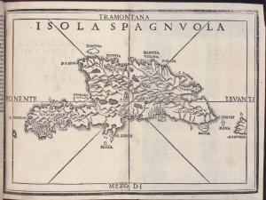
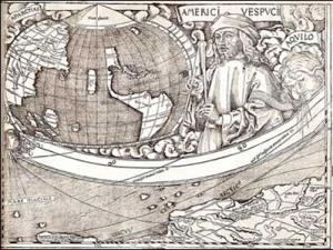
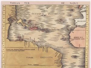
Includes Tabvla terre nove, one of the earliest printed maps of the West Indies published in 1513. British Art Center copy includes two versions of the woodcut map of the British Isles (“Tabvla Prima Evropae”). Bound in contemporary full calf over wooden boards, with metal bosses; original clasps lacking. Bookseller’s description pasted to inside of upper board.